
Atlantic Seaboard
Contour paths and ravine routes along Table Mountain's western slopes.
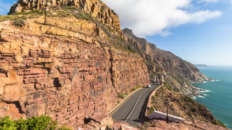
Chapman’s Peak Summit
A short but steep climb above Hout Bay, with 360-degree views over Noordhoek, the harbour and the Atlantic.
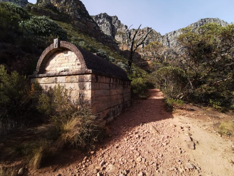
Corridor Ravine
A peaceful, scenic ravine climb above Camps Bay, with ocean views and a quiet alternative to Kasteelspoort.
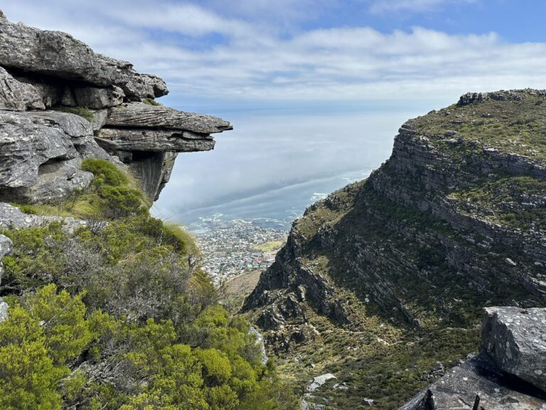
Kasteelspoort Trail to Diving Board
A scenic Table Mountain climb via the Twelve Apostles, with dramatic cliffs, ocean views and the iconic Diving Board rock.
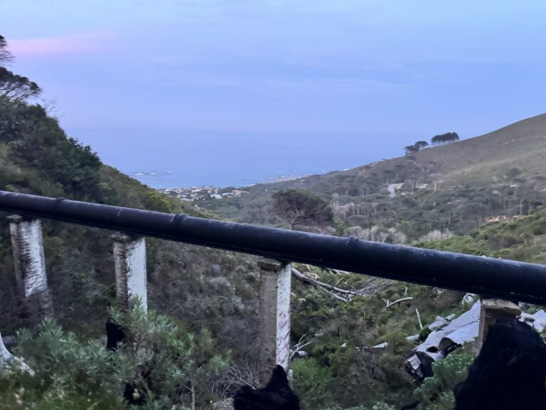
The Pipe Track
SANParks’ contour path beneath the Twelve Apostles, six kilometres each way from Kloof Nek to Corridor Ravine.
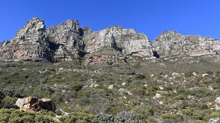
Tranquility Cracks via Corridor Ravine
A thrilling Table Mountain hike via Corridor Ravine to hidden sandstone corridors, with ocean views and quiet mountain magic.
City Bowl
Iconic summit routes overlooking central Cape Town.
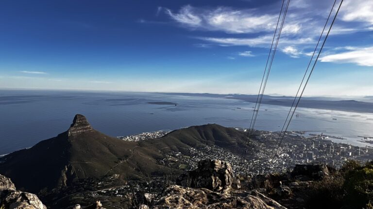
India Venster to Upper Cable Station
A scramble up the front face of Table Mountain that involves real climbing and above average fitness. Extremely difficult to descend, and a route for experienced hikers.
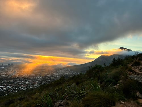
Kloof Corner Hike
A short, steep sunset trail on Table Mountain's lower slopes, with panoramic views over Lion's Head, the city and the Atlantic.
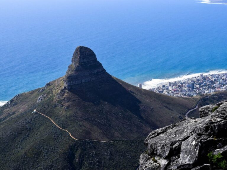
Lion’s Head Hike
SANParks’ spiral walk to the 669 metre summit, about two kilometres up from Signal Hill Drive.
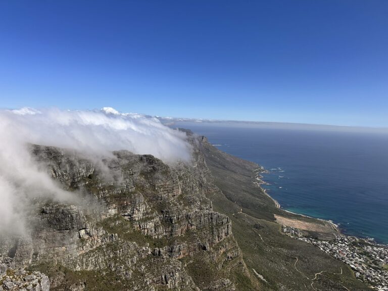
Platteklip Gorge
The most direct route to the summit — a steep, stepped climb with sweeping views over Cape Town and Table Bay.
Southern Suburbs
Forest walks and mountain traverses on the leafy eastern side.
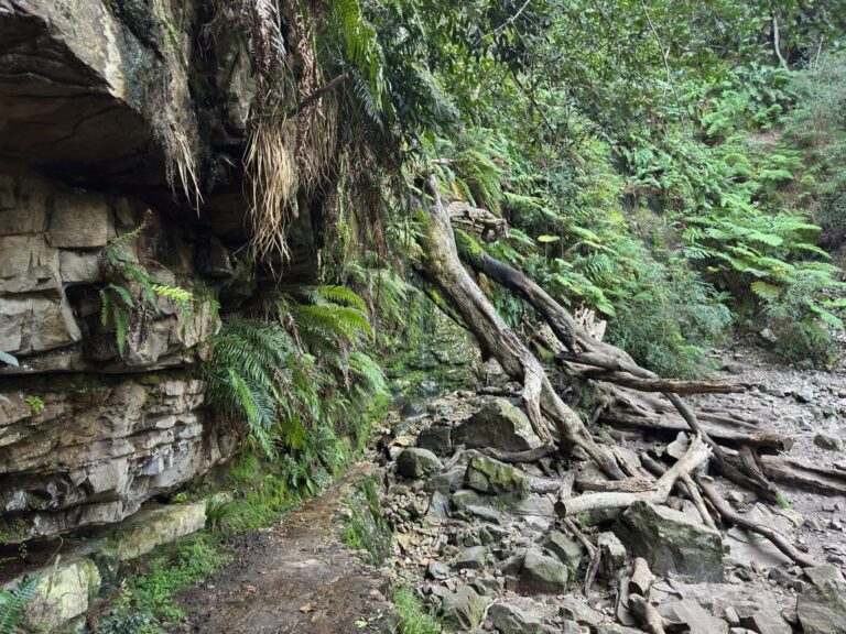
Cecilia Waterfall via Cecilia Forest
A short, peaceful forest trail through Cecilia Forest to a tranquil seasonal waterfall, with shade and mountain views.
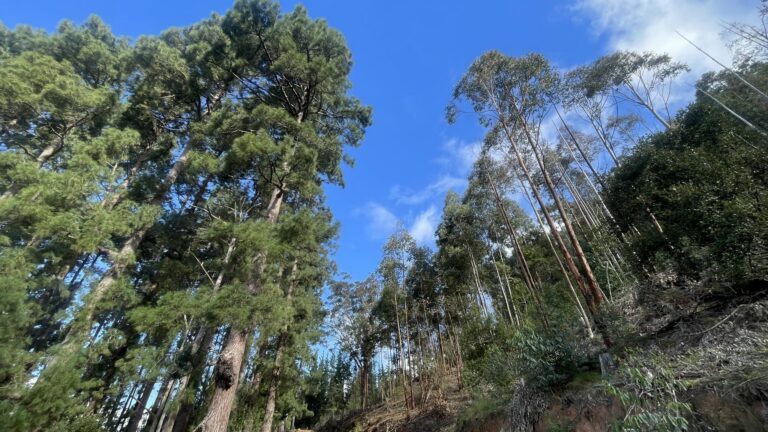
Constantia Nek to Cecilia Forest
A scenic, moderate Contour Path walk with shady forests, mountain views and easy, family-friendly hiking.
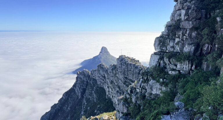
Constantia Nek to Upper Cable Station
A classic Back Table ascent from the quieter southern side of Table Mountain
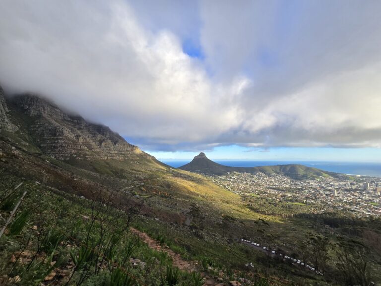
Devil’s Peak via Saddle Rock
A challenging summit hike to Devil's Peak via the scenic Saddle Rock approach.
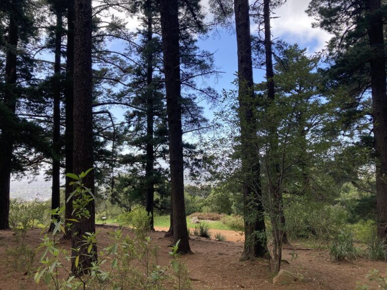
Newlands Forest Blockhouse
An easy-to-moderate trail with forest shade, history and panoramic Cape Town views at the historic King's Blockhouse.
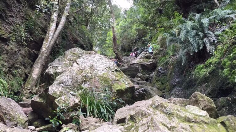
Skeleton Gorge
Cape Town's lush forest trail up Table Mountain from Kirstenbosch, climbing through streams and ladders to the summit.
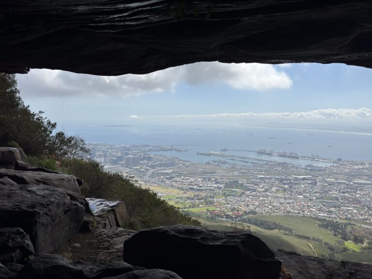
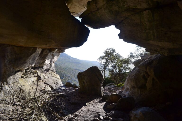
Woodstock Cave via Rhodes Memorial
The climb from Rhodes Memorial to a huge sandstone overhang on the slopes of Devil’s Peak.
False Bay
Coastal mountain trails and caves above the False Bay shoreline.
Cape Peninsula
Scenic reserves and ridge routes stretching down the peninsula.
Cape of Good Hope Hiking Trail
SANParks’ two-day overnight circuit through the Cape of Good Hope, with a night in a hut on the route.
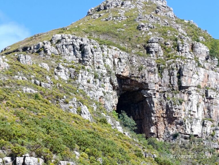
Elephant’s Eye Cave
A family-friendly Silvermine trail to a striking cave, with panoramic views over False Bay and the Cape Flats.
Olifantsbos Shipwreck Trail
A flat coastal walk from Olifantsbos past two wrecks on the Atlantic shore of the Cape of Good Hope.
View Trail →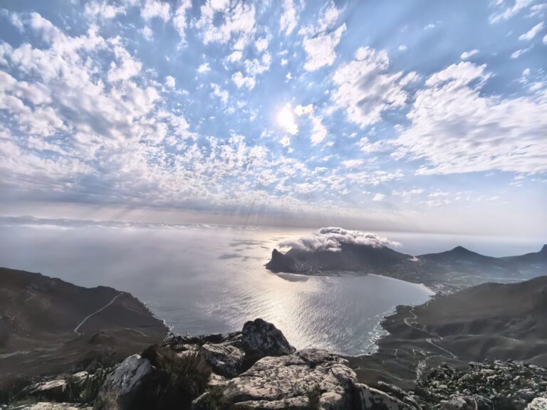
Panorama Loop – Silvermine
A moderate Silvermine circular trail with waterfalls, wild fynbos and 360-degree views over False Bay and Table Mountain.
Silvermine Reservoir Boardwalk
A level boardwalk along the bank of the Silvermine reservoir, about twenty-five minutes at a gentle pace.
View Trail →Swartkop
The peak above Simon’s Town, reached on foot from Jan Smuts Drive past the old blockhouses.
Cape Winelands
Mountain trails and reserve routes across the Winelands.
Breakfast Rock Trail
A two-kilometre walk from the Mont Rochelle gate, and the shortest way to a view over Franschhoek.
Dirtopia Hiking Loop, Muratie
A dedicated 3.5 kilometre walking loop on Muratie, climbing more than 220 hand-built steps to the Gilloolys viewpoint.
Du Toitskop Trail
Mont Rochelle’s second summit at 1,407 metres, a thirteen-kilometre climb with the Franschhoek valley below.
Jonkershoek Panorama Circuit
The flagship Jonkershoek day: a long circuit high across the Dwarsberg plateau with the valley open beneath you.
La Motte Hiking Trail
A booked circular walk on La Motte, through fynbos and vineyard on the Franschhoek valley floor.
Perdekop Trail
Mont Rochelle’s full-day summit circuit, climbing to the reserve’s high point above the Franschhoek valley.
Swartboskloof to Sosyskloof
Jonkershoek’s short loop, sharing its first two kilometres with the far longer Swartboskloof Trail.
Swartboskloof Trail
The long western climb out of Jonkershoek, gaining over 900 metres in the first four and a half kilometres.
Tweede Waterval (Second Waterfall)
The easy valley walk to Jonkershoek’s second waterfall, and the reserve’s most popular short outing.
Uitkyk Trail
A six-kilometre climb to the Uitkyk viewpoint at Mont Rochelle, looking out over the Wemmershoek valley and dam.
Overberg
Coastal paths and mountain trails across the Overberg.
Boesmanskloof Day Trail
Fourteen kilometres over the mountain between Greyton and McGregor, walked in either direction.
De Hoop Klipspringer Trail
A six-kilometre circuit from Potberg, with the Breede River valley below and the Cape vulture colony overhead.
Disa Kloof Trail
A short, level walk to a waterfall inside Harold Porter, and the one route here a wheelchair or a pushchair can manage.
Hermanus Cliff Path
Twelve kilometres of coast from the New Harbour to Grotto Beach, free to walk and open to everyone.
Leopards Kloof Trail
Three river crossings and a series of ladders to a waterfall, on a permit and a key from the garden gate.
Palmiet River Trail
Ten kilometres along the Palmiet River in Kogelberg, graded easy and taking about three hours.
Three Sisters Trail
Eight kilometres into the Kleinmond mountains from the golf course, and the one Kogelberg walk that needs no permit.
Garden Route
Forest, coastal and mountain trails along the Garden Route.
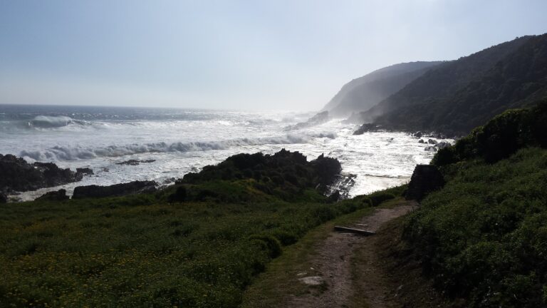
Blue Duiker Trail
A 3.7 km circuit through Tsitsikamma forest above Storms River Mouth.
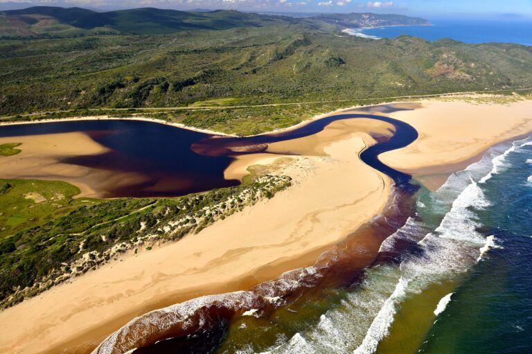
Bush Pig Trail
A 6.5 km circuit at Goukamma, up a fynbos ridge and back through milkwood forest.
Cradock Pass
An old ox-wagon pass climbing out of George into the Outeniqua mountains, 8.4 km there and back.
Gap Circuit, Robberg
Half an hour into a mudstone cleft that splits the peninsula.
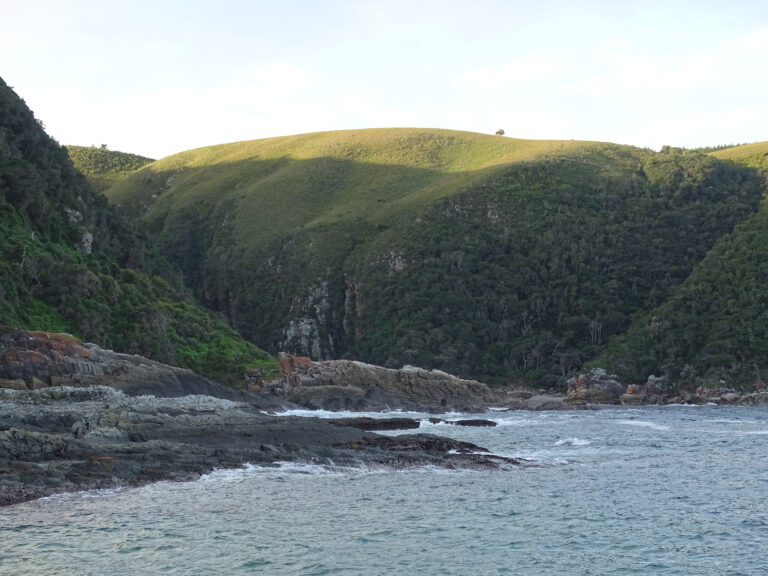
Loerie Trail
A kilometre through the forest at Storms River Mouth, up to the Agulhas lookout.
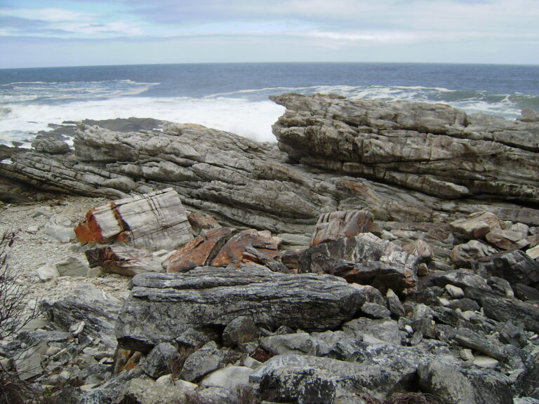
Otter Trail
Five days on foot along the Tsitsikamma coast, from Storms River Mouth to Nature’s Valley.
Point Circuit, Robberg
Four hours to the seaward tip of the peninsula and back along the rocks.
Witsand Circuit, Robberg
Two hours along the northern ridge, past the seal colony and over the tombolo.