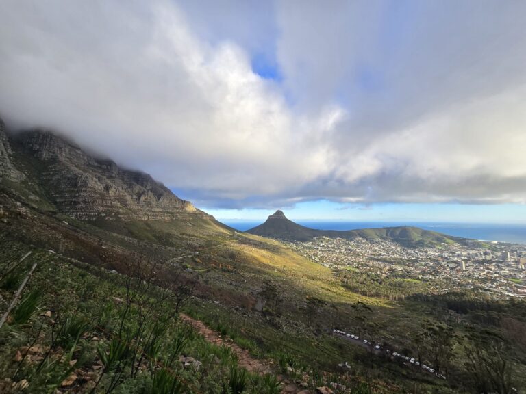
Constantia Nek to the Upper Cable Station is one of Table Mountain’s classic mountain hikes, offering a rewarding journey through indigenous fynbos, forest sections and open mountain slopes before finishing at the summit near the Upper Cableway Station. Unlike the direct routes from Tafelberg Road, this hike feels more remote and lets visitors experience the quieter southern side of Table Mountain.
The route steadily climbs through the landscapes of Table Mountain National Park, with scenery that ranges from shaded sections beneath trees to exposed sandstone paths with panoramic views across Constantia, the Cape Flats and the surrounding mountain ranges.
For hikers looking for a longer mountain adventure without technical climbing, this route is an excellent way to reach the top of Table Mountain while taking in some of the park’s most diverse scenery. Many visitors hike up and descend using the Table Mountain Aerial Cableway, making it a popular one-way option.
Trail Map
Trail Description
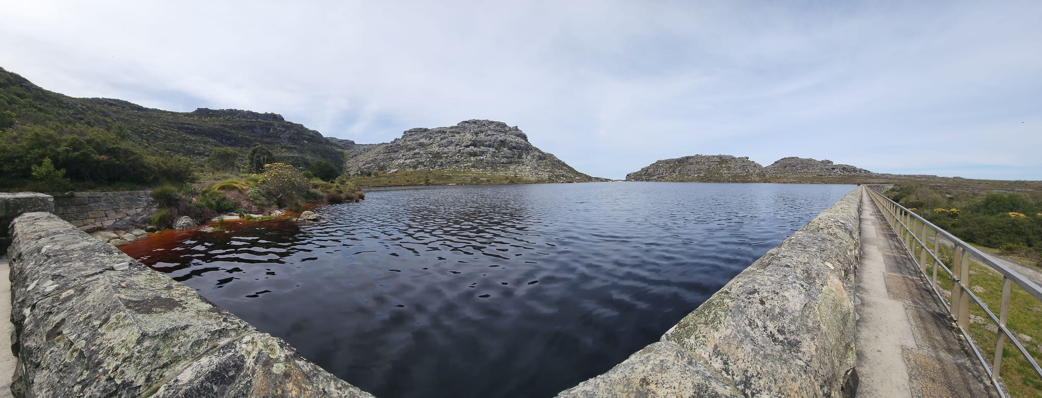
The hike begins at Constantia Nek before joining well-established mountain trails that gradually climb towards the Back Table section of Table Mountain. The ascent is steady rather than steep, passing through indigenous fynbos, rocky paths and occasional forested areas before reaching the plateau.
As the trail gains elevation, sweeping views open across the southern suburbs, False Bay and the Cape Peninsula. The final section follows the broad mountain plateau towards the Upper Cable Station, where hikers can rest before returning by cable car or retracing the route.
The trail is well defined throughout, although good fitness is recommended due to the sustained climb.
Difficulty
This is considered a moderate to challenging hike because of its distance and continuous elevation gain rather than any technical difficulty.
Most of the trail follows established paths with no scrambling required, making it suitable for reasonably fit hikers who are comfortable spending several hours on the mountain.
Best Time to Hike
The route can be enjoyed throughout the year, although autumn, winter and spring generally offer cooler hiking conditions and excellent visibility.
Starting early in the morning is recommended, particularly during summer, to avoid the hottest part of the day. Always check the mountain weather forecast before setting out, as conditions can change rapidly on Table Mountain.
Safety Tips
Carry plenty of drinking water, wear sturdy hiking shoes and bring a windproof layer even on warm days. Parts of the route are exposed to changing weather, and strong winds or mist can develop quickly.
Remain on marked trails, hike with a companion where possible, and allow enough time to complete the route before the last cable car departure if you plan to descend by cableway.
Photography
This hike offers constantly changing photographic opportunities throughout the ascent.
Viewpoints overlook the Constantia Valley, False Bay, the Cape Flats and the Twelve Apostles, while the mountain plateau provides dramatic scenery looking towards Cape Town, Lion’s Head and Table Bay. Early morning and late afternoon usually provide the most attractive light.
Flora & Wildlife
The route passes through protected sections of Table Mountain National Park, home to the unique Cape Floral Kingdom.
Seasonal wildflowers, proteas, ericas and restios line much of the trail, while sugarbirds, sunbirds and dassies are commonly seen along the way. Visitors should remain on designated paths to help protect this internationally significant natural environment.