
CAPE TOWN ACTIVITIES
Best Hikes in Cape Town
Most hiking advice about this city stops at the mountain. This guide runs wider: twelve walks from a twenty-five minute boardwalk to a full day above Stellenbosch, taking in forest, a reservoir, two stretches of coast and a cave you can stand up in.
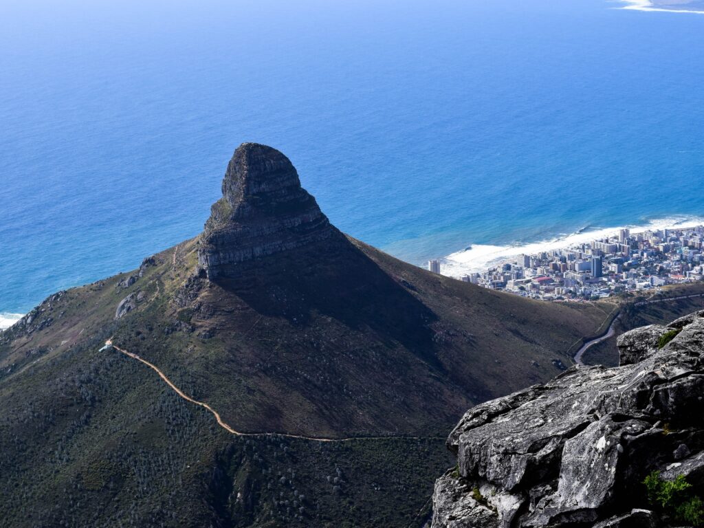
Lion’s Head Hike

The walk that gets recommended to every visitor, and the recommendation is sound. SANParks gives it as about two kilometres one way from Signal Hill Drive, spiralling around the peak so the view changes as you climb rather than arriving all at once at the top. Start early or late; the middle of a summer day is the wrong time.
Lion’s Head is one of Cape Town’s most iconic hikes, attracting thousands of locals and visitors each year for its rewarding climb and spectacular panoramic views. Rising 669 metres above sea level between Table Mountain and Signal Hill, the distinctive peak offers one of the city’s most recognisable skylines and one of its most accessible summit experiences.
SANParks gives the spiral walk as about two kilometres one way and one to one and a half hours up, which makes it a good choice for visitors with limited time who still want a real summit. The trail gradually circles the mountain, revealing changing views over Camps Bay, Clifton, the Atlantic, Table Mountain, the City Bowl and Robben Island before reaching the top.
SANParks describes the route as easy with some minor rock scrambling, and says children can do it but may require help at the chains. If the chains are not for you there is a way round: SANParks states that visitors are still able to reach the summit through the spiral trail that completely excludes the staples and chains, and has pointed hikers to the trail segment that circumvents them. That is why this climb suits such a wide range of people.
Whether you choose an early morning ascent, a sunset climb or the famous full moon hike, Lion’s Head delivers exceptional scenery in every direction. It is equally popular with photographers, fitness enthusiasts and first-time visitors wanting to experience Cape Town from above.

Kasteelspoort Trail to Diving Board
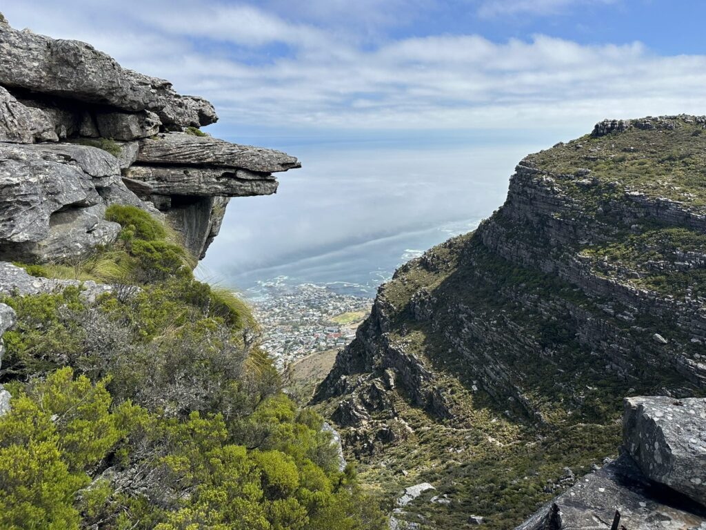
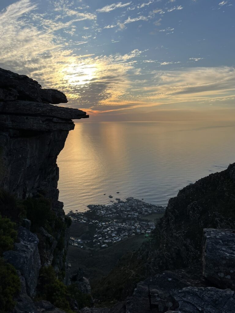
A route up Table Mountain that most people do not finish, and that is the point. They stop at the Diving Board, an overhanging ledge above Camps Bay that has done more for photographs of this city than the summit has. You get the Twelve Apostles, the Atlantic and Lion’s Head from a rock you can sit on.
The Kasteelspoort Trail to Diving Board is one of the most scenic hikes on Table Mountain, taking hikers up the western slopes of the Twelve Apostles to one of Cape Town’s most iconic viewpoints. The route combines panoramic ocean views, rugged mountain scenery and fascinating historical remnants before reaching the famous Diving Board, a dramatic rock ledge perched above the cliffs.
Starting above Camps Bay, the trail climbs steadily through Peninsula Sandstone Fynbos before ascending the historic Kasteelspoort ravine. At the top, hikers are rewarded with spectacular views across Camps Bay, Lion’s Head, the Atlantic Ocean and the Twelve Apostles. The Diving Board, a natural rock outcrop near the remains of the original cableway infrastructure, has become one of Table Mountain’s most photographed landmarks.
The Pipe Track
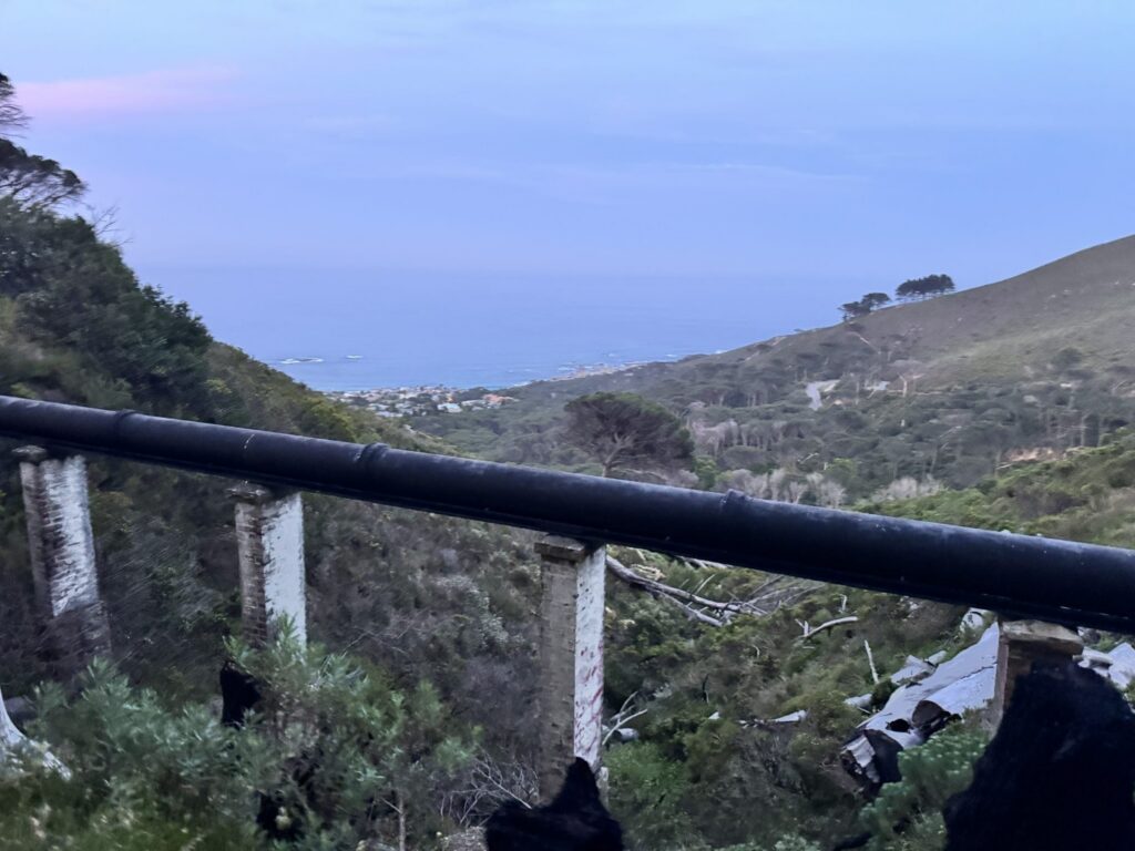
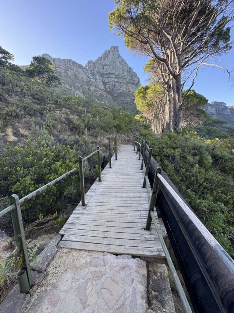
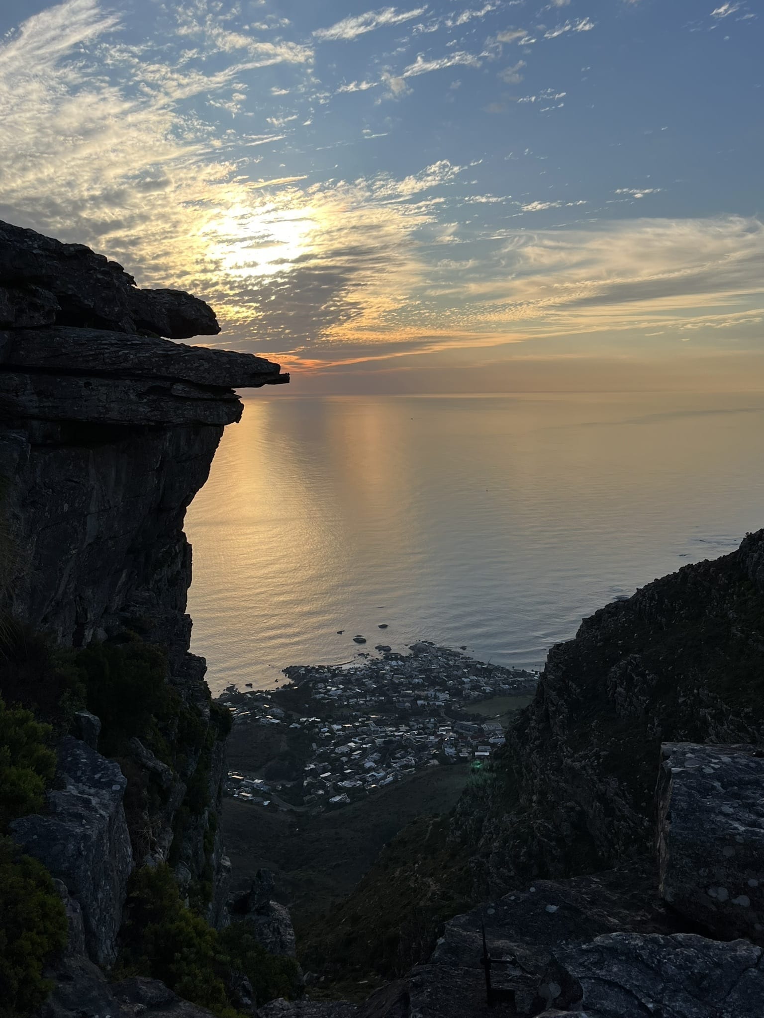
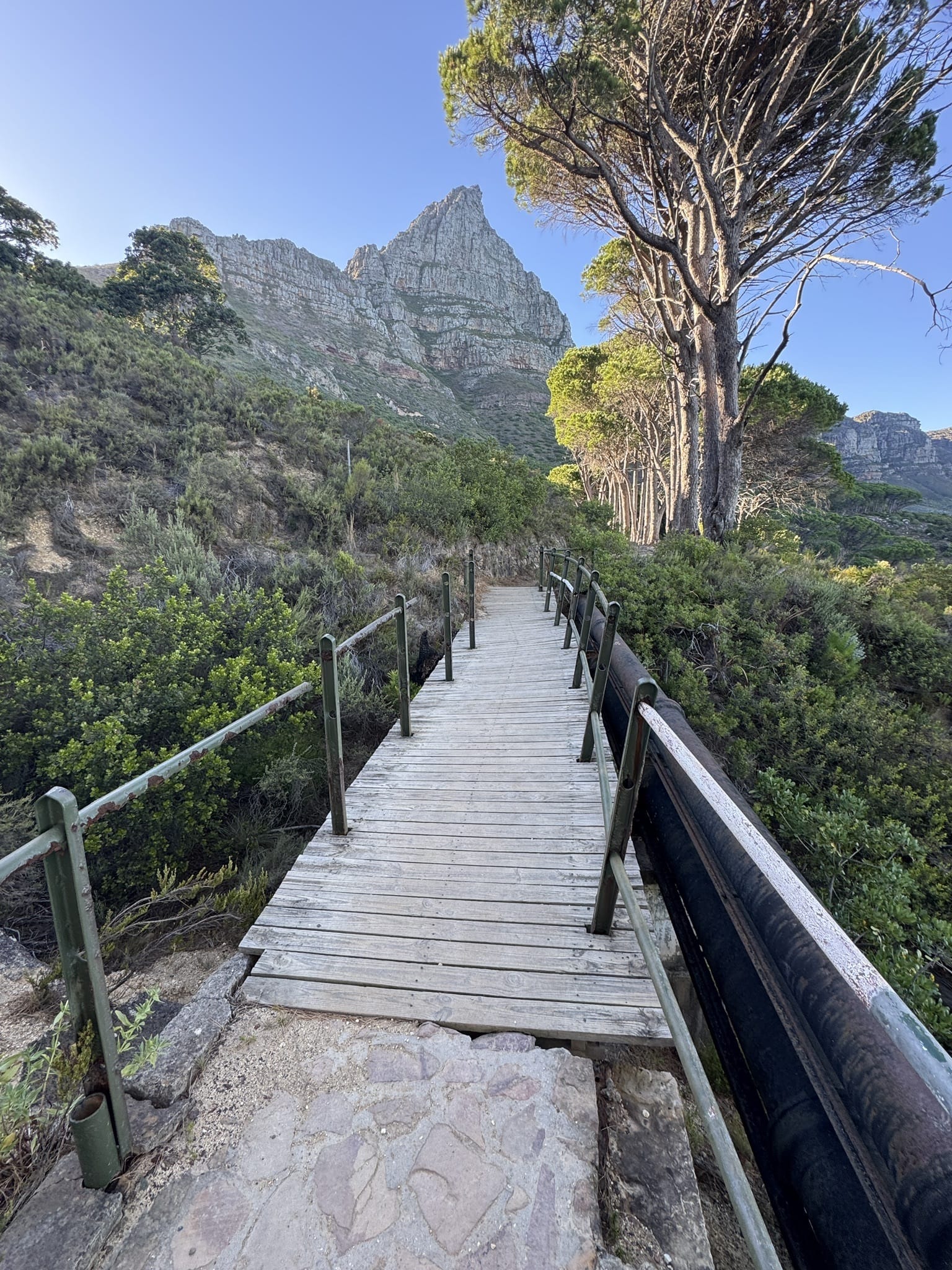
Built to service the water pipeline beneath the Twelve Apostles, the Pipe Track runs along the mountain rather than up it. SANParks measures it at about six kilometres one way from the Kloof Nek junction. Walk twenty minutes of it or the whole thing and turn back whenever you have had enough, which makes it the most forgiving walk here.
The Pipe Track is one of Cape Town’s most popular and accessible mountain walks. Instead of climbing to the summit of Table Mountain, it follows the western contour beneath the Twelve Apostles from the junction of Tafelberg Road and Kloof Nek, with Camps Bay and the Atlantic below you the whole way. It contours above the coast rather than descending to it, so it is a there-and-back walk rather than a crossing to the sea.
Originally built to service the historic pipeline that carries water from Table Mountain’s reservoirs, the route is relatively gentle with only minor elevation changes. Its combination of incredible scenery, easy navigation and flexible distance makes it ideal for hikers, runners, walkers and families looking for a rewarding outdoor experience without a strenuous climb.
Cecilia Waterfall via Cecilia Forest
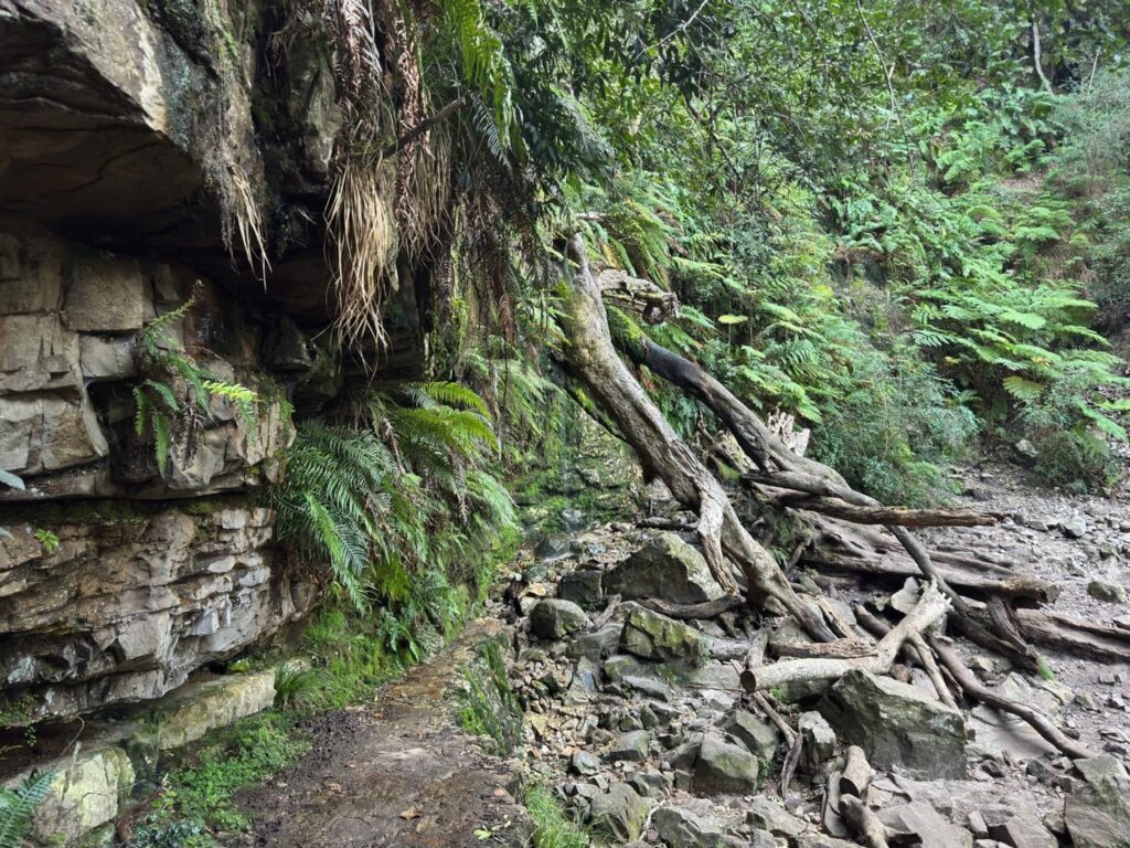
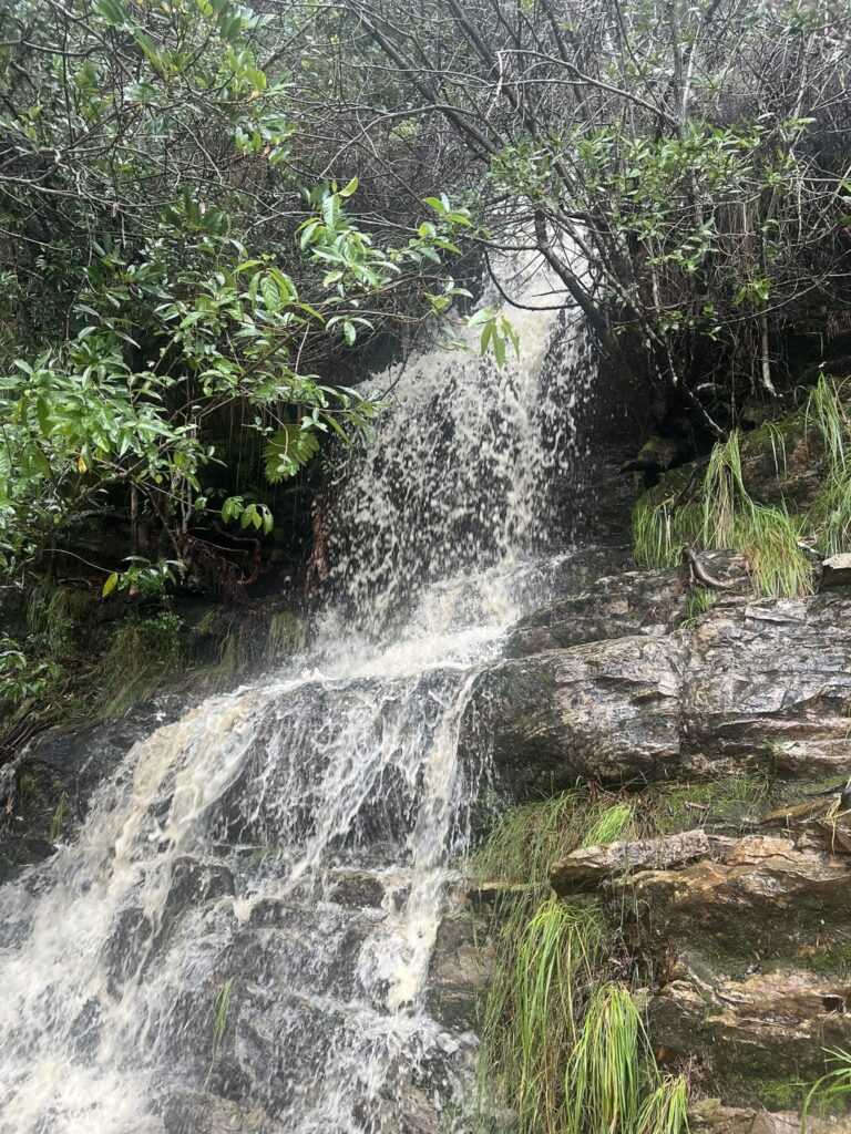
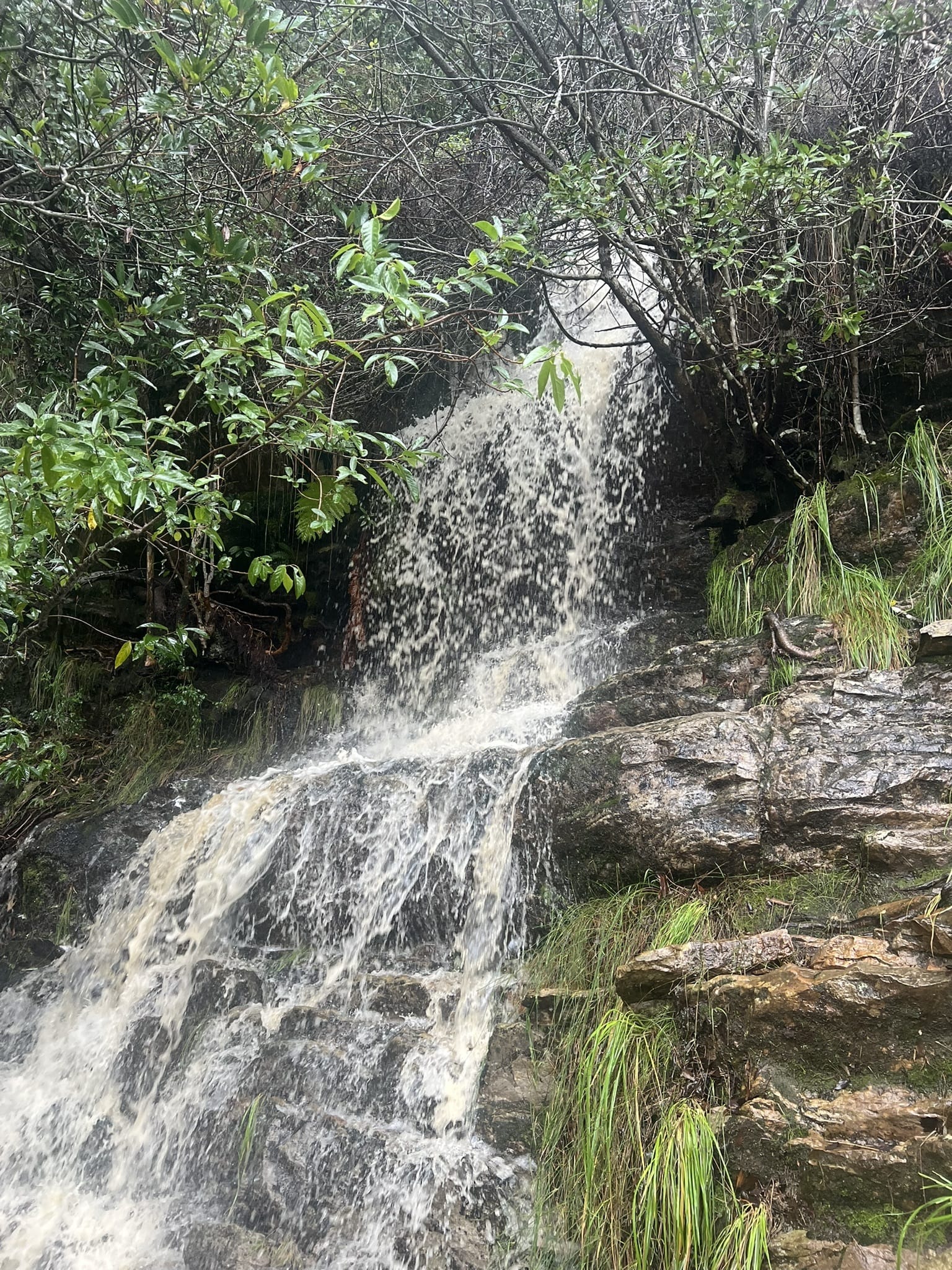
A climb from the Constantia forest entrance through pine and fynbos to a waterfall the record describes as seasonal. That word is doing honest work: after winter rain the fall is the reason to go, and by late summer the forest is. Plenty of people walk it for the shade and the quiet and treat the water as a bonus.
The Cecilia Waterfall hike is one of the most rewarding short walks on the eastern slopes of Table Mountain, leading through the beautiful indigenous woodlands of Cecilia Forest to a picturesque waterfall hidden within Cecilia Ravine. The trail combines shaded forest paths, mountain streams and panoramic viewpoints, making it a favourite for hikers looking for a refreshing escape close to the city.
Starting from the Cecilia Forest parking area on Rhodes Drive, the route follows well-marked trails beneath towering yellowwood and pine trees before climbing gently into the ravine. The highlight is Cecilia Waterfall, where water cascades over rocky cliffs into a cool mountain pool, particularly impressive after winter rainfall. Despite its relatively short distance, the hike feels wonderfully secluded thanks to the dense forest canopy and tranquil surroundings.
Suitable for most hikers with a moderate level of fitness, Cecilia Waterfall offers an excellent introduction to Table Mountain National Park and is one of Cape Town’s most popular waterfall walks.
Elephant’s Eye Cave
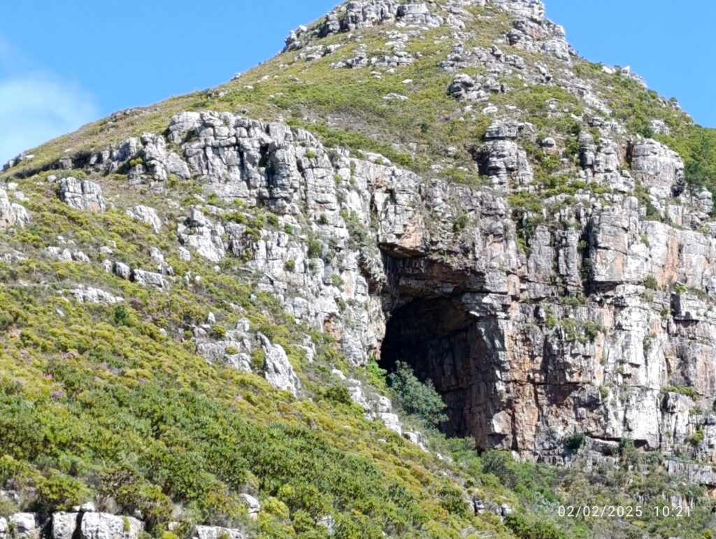
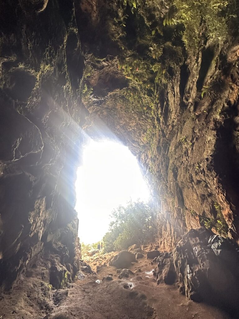
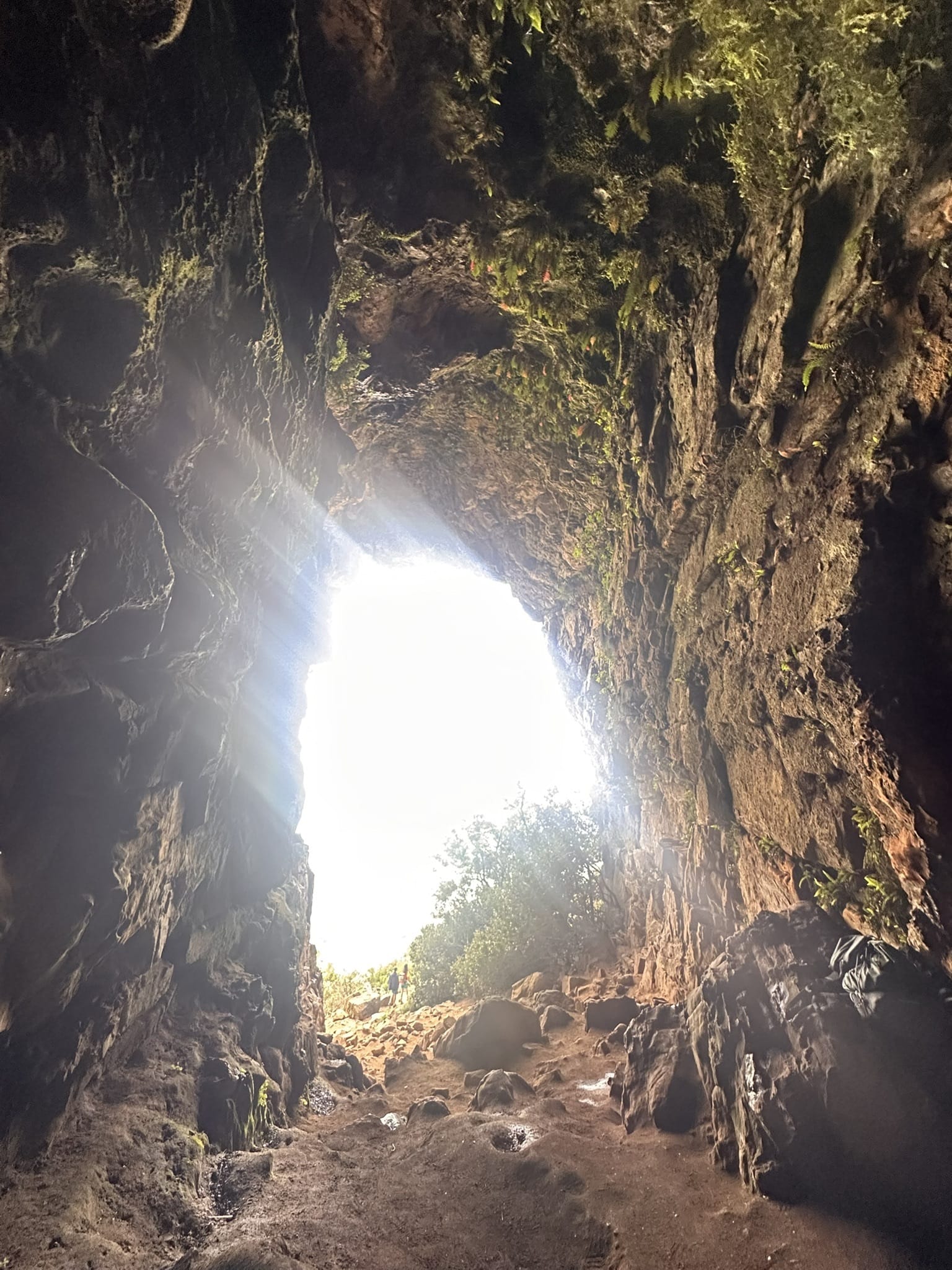
Silvermine’s best-known walk goes to a cave named for the shape it makes on the mountainside from a distance. The path is well made, the gradient steady rather than brutal, and the view from the cave mouth reaches across Hout Bay and the back of the peninsula. It is one of the few mountain walks here the records mark as family-suitable.
Elephant’s Eye Cave is one of the most popular family-friendly hikes in the Silvermine section of Table Mountain National Park. The trail leads to a large sandstone cave carved into the mountainside, where hikers are rewarded with spectacular views over Tokai, False Bay, Muizenberg and the southern suburbs of Cape Town.
Named for its distinctive elephant-eye shape when viewed from a distance, the cave has become a favourite destination for picnics, photography and relaxed day hikes. The well-maintained paths, gentle gradients and beautiful fynbos scenery make it an excellent choice for beginners, families and anyone looking for a rewarding half-day adventure.
Silvermine Reservoir Boardwalk
SANParks puts this boardwalk at roughly twenty-five minutes along the bank of the Silvermine reservoir, level the whole way and a short walk from the day-visitor parking. It is one of very few routes in this guide that works for a wheelchair or a pram. Silvermine is a gated section, so there is a conservation fee at the gate.
The Silvermine reservoir boardwalk is the shortest walk we list, and it is here deliberately. SANParks identifies a boardwalk trail of approximately twenty-five minutes on the banks of the reservoir, and it is level the whole way, which makes it the one outing in Silvermine that suits people who cannot manage a mountain path.
It starts at the reservoir day-visitor parking inside Gate 1 on Ou Kaapse Weg, and runs beside the water. Two much longer routes leave from the same area, the Panorama Loop and the climb to Elephant’s Eye, so it is worth being clear which one you are setting out on before you park.
Silvermine is a gated section, so a daily conservation fee is payable at the gate, which takes card only, and last entry is an hour before closing.
Willis Walk
A coastal footpath along the shore between Simon’s Town and Seaforth, below the road and above the water. SANParks names it in its own park material and allows dogs on lead along it. It is free, it is level, and it ends at the part of the coast the penguins have taken over.
Willis Walk is one of the quieter finds on the peninsula. It is a coastal footpath connecting Bellevue Road in Simon’s Town with Kleintuin Road at Seaforth, running along the shore below the slopes. SANParks names it in its own park material.
The important distinction is with Boulders. The penguin colony boardwalks at Boulders and Foxy Beach are a paid attraction entered through their own gate, and this footpath is not part of them. Willis Walk is free. Penguins do range along this stretch of coast, so you may well see them from the path, but seeing them here is a matter of luck rather than an included ticket.
It is also one of the few places in Table Mountain National Park where dogs are permitted, on a lead. It is a short link between two roads, walkable from either end, and Seaforth is the easier place to leave a car.
Olifantsbos Shipwreck Trail
One of only two trails SANParks names in the Cape of Good Hope section. It leaves the car park at Olifantsbos and follows the shore north past the remains of two ships lost on this coast. It is flat, it is exposed, and it is the walk that makes the drive to Cape Point feel like more than a viewpoint.
The Shipwreck Trail is the walk to do at Cape Point if you would rather look at the sea than climb above it. It leaves the car park at Olifantsbos, on the Atlantic side of the Cape of Good Hope section, and follows the shore north across sand and low coastal path. Two vessels lie on this stretch, and the wreckage is the reason the trail has a name.
SANParks names the trail in its own visitor material. What matters more in practice than a kilometre count is the gate: the Cape Point entrance closes in the late afternoon and a late exit is fined, so work backwards from that.
There is no shade and no water once you leave the car park, and baboons are active on this side of the reserve. SANParks asks visitors to keep food out of sight and warns that the animals are attracted by it. Dogs are not permitted anywhere in this section.
Tweede Waterval (Second Waterfall)
The gentlest of Jonkershoek’s four official trails. It leaves the hairpin bend on the reserve’s circular road and follows the Eerste River upstream, passing the first waterfall on the way to the second. CapeNature allows 250 people a day on it against 100 on the mountain routes, which tells you what kind of walk it is.
Tweede Waterval is the gentlest of the four official trails in Jonkershoek Nature Reserve, and the one most visitors do. The path leaves the hairpin bend on the reserve’s circular route and follows the Eerste River upstream, passing the first waterfall on the way to the second.
It is short enough to fit around lunch and easy enough for children, which is why CapeNature allows 250 people a day on it rather than the 100 permitted on the mountain routes. It also doubles as the final descent of the Panorama Circuit, so anyone walking the long day will finish along this same path.
Palmiet River Trail
Kogelberg is the heart of the Cape Floral Kingdom and most of its trails are long days. This one is not: it follows the Palmiet River, stays low and is graded easy. If you want to see what fynbos looks like where it is at its richest without committing to a mountain, this is the walk.
Kogelberg is the heart of the Cape Floral Kingdom and most of its trails are long: 22 km to Perdeberg, 24 km on the Kogelberg Trail, a two-day crossing on the Highlands. The Palmiet River Walk is the exception. It is 10 km over about three hours, an easy walk along the Palmiet River, which makes it the way into this reserve for people who want the fynbos and the water without committing a whole day to a mountain.
The reserve is reached off the R44 between Kleinmond and Betty’s Bay, down a gravel road to the Oudebosch reception where permits are issued. Buy the permit there or book it in advance through CapeNature. Day-visitor parking is limited and works on a first come, first served basis, so an early arrival is worth more here than it is at most reserves. CapeNature recommends starting the walk no later than two in the afternoon.
Two things worth knowing. Easy is CapeNature’s grading, not a comment on the length, and ten kilometres is still ten kilometres, so take water and closed shoes. And there is no cell reception inside the reserve, with the last signal at the turn from the tar onto the gravel. Tell someone where you are going before you lose it.
Hermanus Cliff Path
The Cliff Path runs the length of Hermanus from the New Harbour to Grotto Beach. It is free, it is maintained by the Cliff Path Management Group with the Overstrand municipality, and you can join or leave it almost anywhere along the town. In season the whales are close enough that people stop walking.
The Cliff Path is the reason people walk in Hermanus. It runs twelve kilometres along the top of the coast, from the New Harbour in the west to Grotto Beach in the east, and it is free, unfenced and open. The Cliff Path Management Group looks after it as the path’s steward, working within the Fernkloof Nature Reserve framework and alongside the Overstrand Municipality, which holds the statutory responsibility.
It is linear rather than circular, and it can be joined at a dozen points through town, so almost nobody walks the whole thing in one go. Pick a stretch. The section around Gearing’s Point is the busiest and the most level, and it is where the land-based whale watching happens between June and November, when southern right whales come in close enough that you hear them before you see them. Further west towards the New Harbour the path gets rockier and quieter.
Practical things: it is free, there is no gate and no permit, dogs are welcome on a lead, and the surface is described by its managers as level and mostly wheelchair-friendly, with a specifically accessible walkway at Gearing’s Point. Mostly is their word and worth respecting, so check the particular stretch you have in mind if wheels are involved. A section that once broke the path near Mollergren Park was closed by an 800 m link in 2025, so the route now runs through.
Jonkershoek Panorama Circuit
The big day in Jonkershoek. It climbs from the Eerste River to Bergriviernek, contours high across the Dwarsberg plateau with the valley below, then descends and finishes along the river. It is here so this guide has a proper top end, and it is the one entry that needs a full day, an early start and some fitness.
The Panorama Circuit is the big day in Jonkershoek. It climbs from the Eerste River to Bergriviernek, contours high across the Dwarsberg plateau with the whole valley open beneath it, then descends Kurktrekkersnek and finishes past both waterfalls. It can be walked in either direction, and a short detour adds Guardian Peak at 1,227 metres.
It is worth knowing what the circuit shares with the rest of the reserve. Its final descent is the same path as the Tweede Waterval walk, and the high contour section is common to the Swartboskloof Trail, so anyone planning more than one long day in Jonkershoek will cover some of the same ground twice. CapeNature signposts the circuit at seventeen kilometres, though GPS traces measure closer to fourteen.
How to choose from this list
The useful question is not which of these is best but how much of a day you want to give it. Four of them ask under two hours: the boardwalk, Willis Walk, the shipwreck trail and the first stretch of the Pipe Track. Three are half-day mountain walks. One is a full day.
The second question is whether you want the city or you want out of it. Everything from Lion’s Head to the reservoir is within half an hour of the centre. Jonkershoek, Kogelberg and Hermanus are day trips, and in each case the reserve is the reason to go rather than the trail alone.