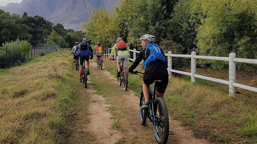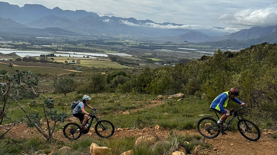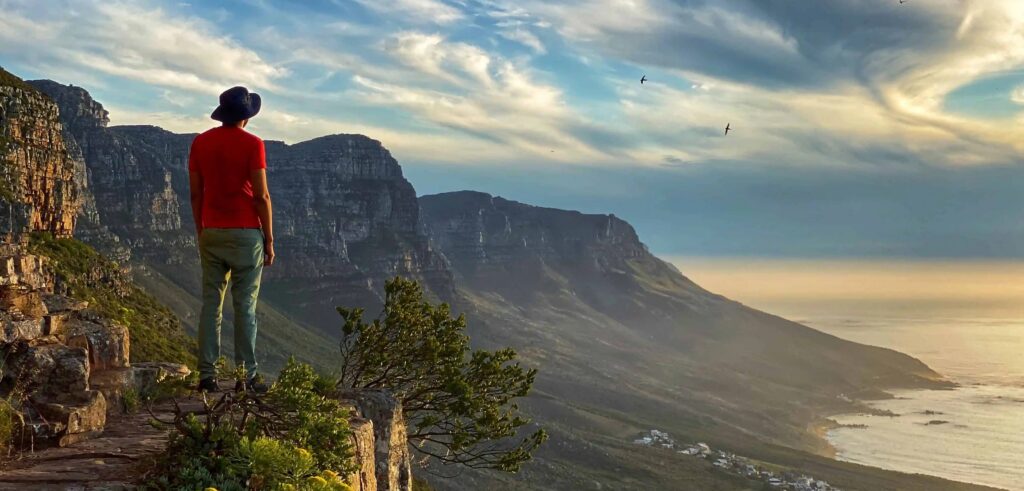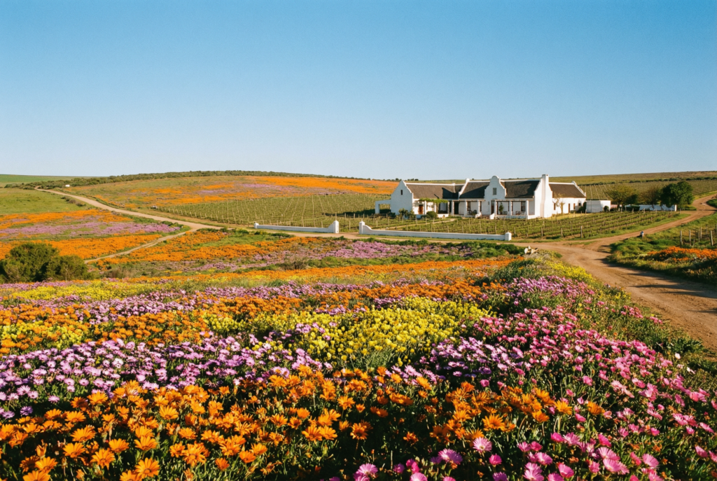
The Constantia Greenbelts offer a very different kind of ride from Cape Town’s mountain-bike trail networks. This 8 km route follows a chain of public green spaces through the Constantia valley, using gravel and grass paths beneath mature trees, alongside waterways and between residential neighbourhoods.
The riding is mostly gentle and non-technical, making it well suited to beginners, families and visitors looking for an easy recreational ride rather than a demanding mountain-bike route. Short road connections and shared paths are part of the experience, and the route finishes with a steeper climb near Southern Cross Drive.
Route description
The route links the Soetvlei, Keysers River, Strawberry Lane, Pagasvlei, Silverhurst, Bel Ombre and Diep River greenbelts, with short suburban-road connections between sections. Several busier roads are crossed along the way, including Spaanschemat River Road, Constantia Main Road and Rathfelder Avenue. Near the Southern Cross Drive end, a steeper final pitch provides the main climb of the route.
Where you may and may not ride
Cycling is permitted only on designated parts of the Constantia greenbelt network. The Alphen Trail and Klaasenbosch Trail are excluded, as is the narrow path past the historic irrigation dam at Silverhurst. Follow the approved cycling route rather than assuming every connecting greenbelt path is open to bikes.
Continuing from the greenbelts into Table Mountain National Park changes the access rules. Routes entering the park towards Cecilia Forest or the cork-tree trails are subject to SANParks cycling requirements.
Who it suits
This is a good option for beginners, families and riders looking for a relaxed outing rather than a technical trail ride. Most of the route is flat to gently rolling, although the shared paths require consideration around walkers, dogs and horses, and the final climb near Southern Cross Drive is noticeably steeper.
Cyclists should yield appropriately on shared sections and slow down where paths narrow or visibility is limited.